
Enfield
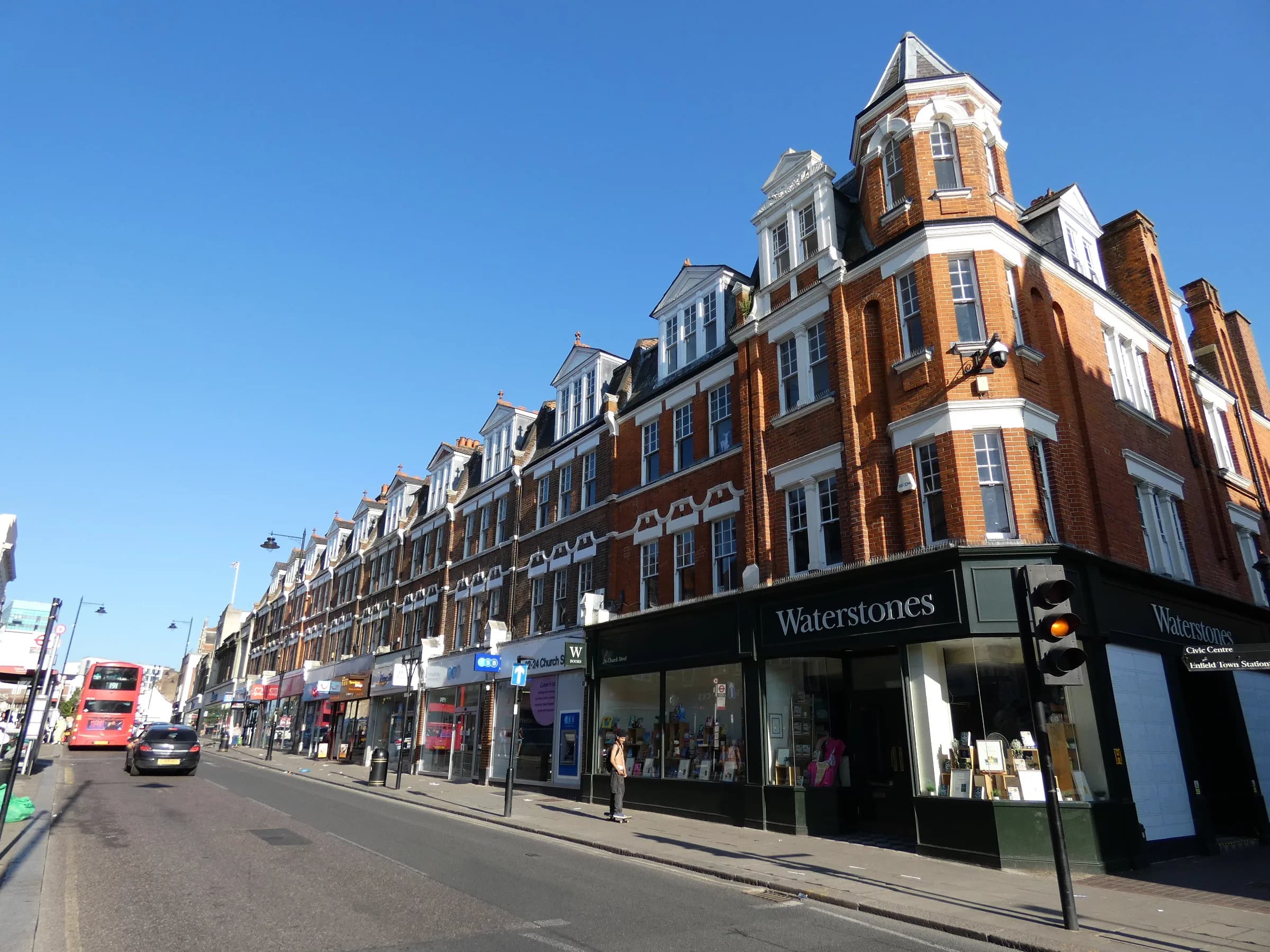
Enfield Town is the historic market-town centre of the London Borough of Enfield, with a medieval market place, the New River and Town Park, and direct Overground trains to Liverpool Street.
Area guide
Living in Enfield
Enfield Town is the commercial and civic centre of the London Borough of Enfield, covered by the EN1 and EN2 postcode districts. It still follows a market-town layout: the market place and the elongated triangle known as The Town sit beside St Andrew's Church, and Enfield Council's conservation area appraisal records a weekly market being granted in 1303. Open space reaches close to the centre, including Town Park, Chase Green and the New River, which was completed in 1613 and runs through the town.
Most surviving buildings in the centre date from the later 19th and early 20th centuries, while Gentleman's Row and Silver Street keep a group of 18th-century houses. South of the centre, the "New Town" around Raleigh Road, Sydney Road and Essex Road was laid out from 1853 as a compact residential grid, with semi-detached villas and narrower terraced houses. The council's appraisal describes the wider surroundings to the east of the centre as inter-war and post-war residential development.
Enfield Town station is the terminus of the Overground's Weaver line, which runs to London Liverpool Street, and TfL places it in Zone 5. Enfield Chase station, at the western edge of the town, is served by Great Northern and is also in Zone 5. There is no Tube station in the town centre; the Piccadilly line's Oakwood station is in a neighbouring area to the west.
Transport
Getting around Enfield
Enfield Town is the terminus of the Weaver line to London Liverpool Street (TfL route data), and Enfield Chase is on a Great Northern line towards Finsbury Park and Moorgate in one direction and Hertford North and Stevenage in the other. TfL's journey planner shows the current bus links between the two stations.
Enfield Town
Weaver · Zone 5
Terminus of the Weaver line from London Liverpool Street; TfL journey planner shows a direct Overground service.
Enfield Chase
Great Northern · Zone 5
Station managed by Great Northern; at the western edge of the town.
Bush Hill Park
Weaver · Zone 5
Next Weaver station towards Edmonton Green, in the adjoining Bush Hill Park area.
Parks, shops and schools
What Enfield has nearby
Parks and green space
- Town Park (opens in a new tab)Park off Cecil Road through which the New River (completed 1613) runs; hosts several large events a year.
- Chase Green and Chase Green Gardens (opens in a new tab)Open common-style green and a formal park on the New River at the north-west end of Church Street.
- Forty Hall Park and Estate (opens in a new tab)Council-owned parkland, lakes, walled garden and Grade I listed house at Forty Hill.
- Myddelton House Gardens (opens in a new tab)Eight-acre gardens at Bulls Cross associated with E. A. Bowles; listed on Visit Lee Valley.
- Bush Hill Park (opens in a new tab)Council park (with toilets) in the adjoining Bush Hill Park ward.
High street and shopping
The centre is organised around The Town, the Market Place and Church Street. Enfield Market has held a royal charter since 1303 and is run by the Old Enfield Charitable Trust.
- Market Place
- Palace Gardens shopping centre
- Palace Exchange
- Dugdale Centre and Museum of Enfield
Schools
State schools in Enfield Town are the responsibility of the London Borough of Enfield as local education authority. Use the official tools below for admissions rules and school information rather than relying on summaries here.
A little history
The settlement was recorded as Enfield Green in 1267, and a weekly market was granted in 1303, a charter also recorded by The Enfield Society. The New River, built between 1604 and 1613 to bring water to London, loops through the town.
Local favourites
Worth knowing in Enfield
Roads and pockets
- Gentleman's Row — brick villas from the 18th century beside the New River; it became a through road after Enfield Chase was enclosed in 1803
- Silver Street — named with Gentleman's Row in the council's appraisal for its surviving 18th-century houses
- Essex Road — part of the Victorian "New Town" grid, with wider frontages and a view west into Town Park
- Raleigh Road — part of the Victorian New Town grid, with artisan houses tightly built on narrow plots
- Chase Side — the spine of the area facing Chase Green, with housing built from the early 18th century onwards
Places worth a visit
- Forty Hall — a Grade I listed house built in 1629–36 for Sir Nicholas Rainton, standing in council-run parkland with free entry to the estate
- Myddelton House Gardens — eight-acre gardens at Bulls Cross created by the horticulturist E. A. Bowles, listed on Visit Lee Valley
- Museum of Enfield — a council museum at the Dugdale Centre, 39 London Road, holding around 20,000 objects on the borough's places and people
- Enfield Market Place — the market place at the heart of the town, with a market charter dating from 1303 and now run by the Old Enfield Charitable Trust
- Chase Green Gardens — a small formal park on the New River beside Gentleman's Row, next to the open common land of Chase Green
Compiled from public sources such as council guidance and local history records, and reviewed October 2026. These are not recommendations or valuations.
Property market
Property prices in Enfield
Median sold price
£500,000
682 sales in the 12 months to July 2026
| Property type | Median | Sales |
|---|---|---|
| Detached | £767,500 | 46 |
| Semi-detached | £635,000 | 147 |
| Terraced | £520,000 | 279 |
| Flats & maisonettes | £325,000 | 210 |
Based on completed sales registered at postcodes in EN1, EN2, which only approximate the area's boundaries and include sales we did not handle. Standard (category A) residential sales for value only: the Land Registry’s category B, which includes repossessions, buy-to-lets identified by a mortgage and sales to non-private individuals, is not counted. Contains HM Land Registry data © Crown copyright and database right 2026. This data is licensed under the Open Government Licence v3.0.
Available now
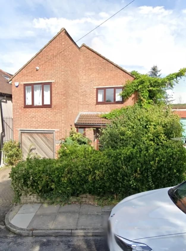
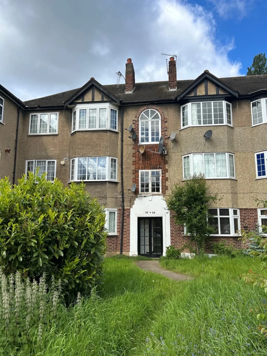
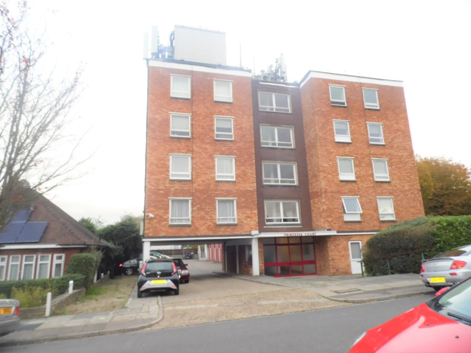
Homes in Enfield
Questions
Enfield: common questions
Quick answers about living in and moving to Enfield.
Which council covers Enfield Town and who sets council tax?
Enfield Town is in the London Borough of Enfield. Enfield Council bills and collects Council Tax and provides local services including school admissions. You can check the current arrangements on the council's Council Tax pages.
Which stations serve Enfield Town and what zone are they in?
Enfield Town station (Overground, Weaver line) is in Zone 5 and has direct services to London Liverpool Street. Enfield Chase (Great Northern) and Bush Hill Park (Weaver line) are also in Zone 5. Zones are taken from TfL's station data; check TfL or National Rail for current timetables.
Is there a Tube station in Enfield Town?
No. TfL's station search shows no Underground station named Enfield. The town is served by Overground and National Rail stations. The closest Piccadilly line station among those checked is Oakwood, which is in a neighbouring area to the west.
Which postcode districts cover Enfield Town?
The town centre and surrounding streets fall mainly in EN1 and EN2. Both districts lie in the London Borough of Enfield, although EN2 also reaches into part of Welwyn Hatfield in Hertfordshire, so council tax depends on the exact address.
What parks and green spaces are close to Enfield Town?
Town Park and Chase Green are within the town itself, with the New River running through both. Further out are Forty Hall Park and Estate (a Grade I listed house in council-owned grounds) and Myddelton House Gardens at Bulls Cross, listed on the Visit Lee Valley website.
Location
Where Enfield is
Nearby
Nearby areas
Value my property
Selling or letting in Enfield?
Talk to our local team about the market in Enfield — book a free, no-obligation valuation or call the office.