
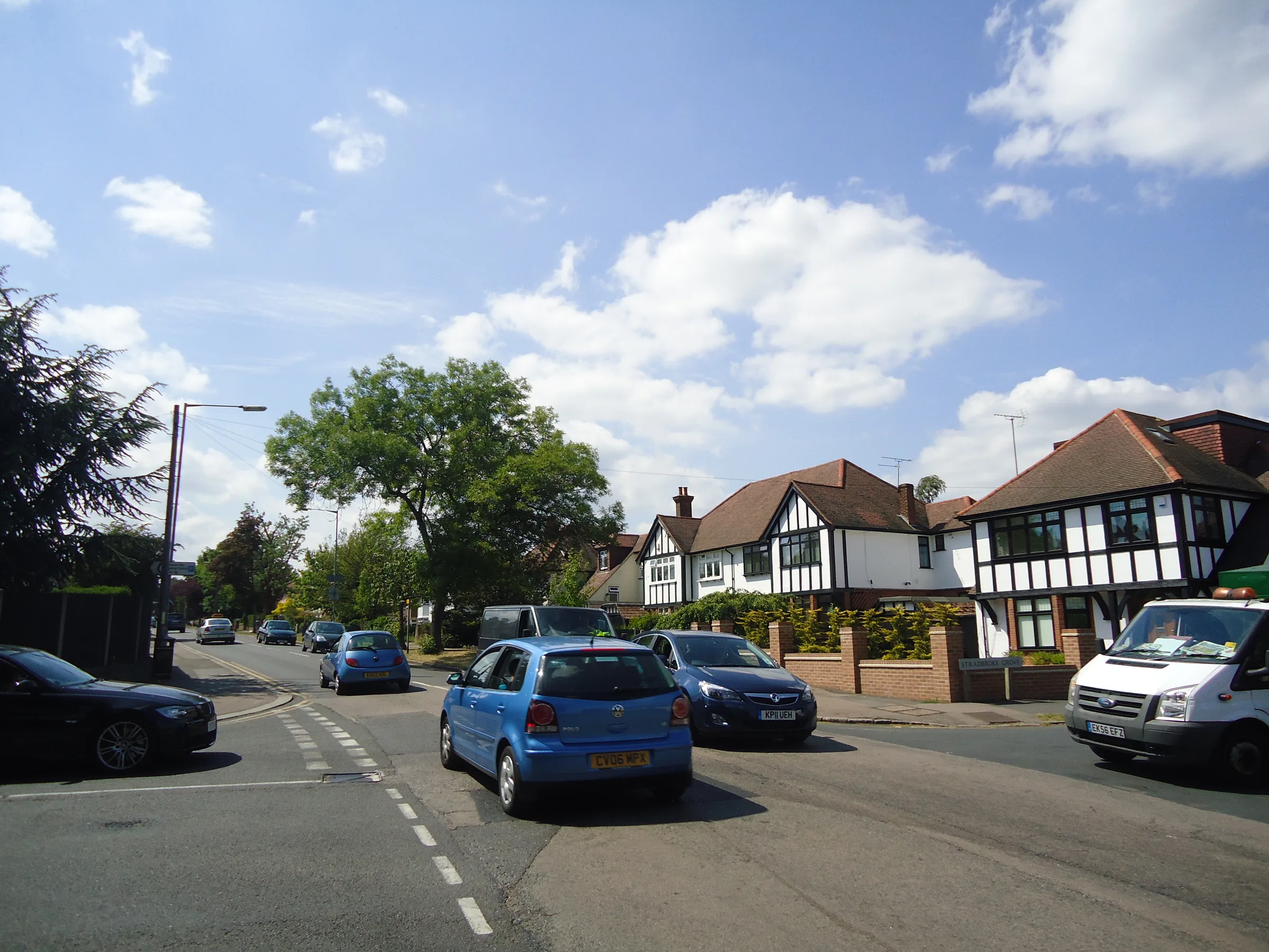
Buckhurst Hill
Buckhurst Hill is an Essex town in Epping Forest District, on the north-east edge of London, with its own Central line station (Zone 5) and Epping Forest nearby.
Area guide
Living in Buckhurst Hill
Buckhurst Hill is a town in Essex, on the north-eastern edge of London. It lies in Epping Forest District, with Chingford (London Borough of Waltham Forest) to the west, Chigwell to the east, Loughton to the north-west and the London Borough of Redbridge to the south. Epping Forest forms its immediate surroundings, and the town stands on a ridge above the River Roding floodplain. The 2021 census recorded 11,749 residents.
Until the 19th century the settlement was a handful of houses and farms. The railway reached Buckhurst Hill in 1856, and roads were laid out east-west from the station to the High Road, including Queen's Road, the main shopping street, and Palmerston, Gladstone and Victoria Roads, which were lined with villas. Epping Forest District Council's St John's conservation area appraisal describes Victorian terraces such as those on Osborne Road and Trent Road, the Grade II listed Church of St John the Baptist, which originated in 1837, and surviving pockets of Epping Forest.
Buckhurst Hill station, in Zone 5, is on the Central line, with trains west through Woodford, Leytonstone, Stratford, Liverpool Street, Bank, Holborn and Oxford Circus, and east to Loughton and Epping. Roding Valley station (Zone 4), also on the Central line, lies to the south. TfL buses and the M11 provide road links. Because the town is in Essex, council tax is billed by Epping Forest District Council, and Essex County Council is the education authority.
Transport
Getting around Buckhurst Hill
Buckhurst Hill station is on the Central line, with trains towards central London via Stratford and Liverpool Street and eastwards to Loughton and Epping; the district council's appraisal also notes bus services and the M11 motorway.
Buckhurst Hill
Central · Zone 5
Central line; TfL bus routes also stop at the station
Roding Valley
Central · Zone 4
Central line station south of the town, close to the Redbridge boundary
Parks, shops and schools
What Buckhurst Hill has nearby
Parks and green space
- Epping Forest (opens in a new tab)Ancient woodland managed by the City of London Corporation, protected by the Epping Forest Act 1878
- Knighton Wood and Lord's Bushes (opens in a new tab)Forest land between Woodford Green and Buckhurst Hill, about 0.5 km from Buckhurst Hill station, with Knighton Lake and the Rowan Trail
- Barn Hoppitt (opens in a new tab)Ancient wood-pasture with veteran trees, reached by an uphill walk from Buckhurst Hill station
- The Wilderness (Ardmore Lane Wood) (opens in a new tab)Local Wildlife Site and fragment of Epping Forest within the St John's conservation area
High street and shopping
Queen's Road, laid out in 1856-7 from the station, is Buckhurst Hill's main commercial street and remains lined with shops, according to Epping Forest District Council's conservation area appraisal.
- Queen's Road shopping street
- The green, pond and St John's church on the High Road
Schools
State schools in Buckhurst Hill fall under Essex County Council as the local education authority, which runs school admissions; part of the IG9 postcode district is in the London Borough of Redbridge, so check the authority for a specific address.
A little history
Buckhurst Hill was a small hamlet in the parish of Chigwell until the 19th century. The extension of the railway from Woodford to Loughton in 1856 spurred rapid growth, and the Epping Forest Act of 1878 protected the surrounding forest land.
Local favourites
Worth knowing in Buckhurst Hill
Roads and pockets
- Queen's Road — laid out in 1856-7 from the station and still the main shopping street, per the district council's conservation area appraisal
- Palmerston Road — one of the Victorian roads laid out from the station to the High Road, lined with villas
- Gladstone Road — Victorian road from the station to the High Road, also lined with villas
- Osborne Road — Victorian terrace of 1884 overlooking the pond and green, locally listed, in the St John's conservation area
- High Road — historic route used by travellers between London and Newmarket, with the green, pond and St John's church alongside
- Trent Road — Victorian terraced street within the St John's conservation area
Places worth a visit
- Knighton Wood and Lord's Bushes — Epping Forest land on the site of former Buxton Estate gardens, with Knighton Lake and a 0.5 km walk from Buckhurst Hill station
- Barn Hoppitt — ancient wood-pasture with veteran trees, reached from Buckhurst Hill station by an uphill walk, according to the City of London
- The Wilderness — fragment of Epping Forest behind St John's church, designated a Local Wildlife Site (Ardmore Lane Wood)
- Church of St John the Baptist — Grade II listed church originating in 1837, a landmark beside the green and pond on the High Road
Compiled from public sources such as council guidance and local history records, and reviewed October 2026. These are not recommendations or valuations.
Property market
Property prices in Buckhurst Hill
Median sold price
£655,000
166 sales in the 12 months to July 2026
| Property type | Median | Sales |
|---|---|---|
| Detached | £1,072,500 | 26 |
| Semi-detached | £750,000 | 43 |
| Terraced | £645,000 | 51 |
| Flats & maisonettes | £392,500 | 46 |
Based on completed sales registered at postcodes in IG9, which only approximate the area's boundaries and include sales we did not handle. Standard (category A) residential sales for value only: the Land Registry’s category B, which includes repossessions, buy-to-lets identified by a mortgage and sales to non-private individuals, is not counted. Contains HM Land Registry data © Crown copyright and database right 2026. This data is licensed under the Open Government Licence v3.0.
Questions
Buckhurst Hill: common questions
Quick answers about living in and moving to Buckhurst Hill.
Is Buckhurst Hill in London, and which council covers it?
Buckhurst Hill is in Essex, not Greater London. It is in Epping Forest District, so Epping Forest District Council collects the council tax bill on behalf of itself, Essex County Council, the Police, Fire and Crime Commissioner and parish councils. It has its own parish council, Buckhurst Hill Parish Council.
Which station serves Buckhurst Hill and which zone is it in?
Buckhurst Hill station is in Zone 5 on the Central line. Roding Valley station, also on the Central line and in Zone 4, lies to the south. Central line trains run west through Stratford and Liverpool Street to Oxford Circus and beyond, and east to Loughton and Epping.
Which postcode district is Buckhurst Hill?
Buckhurst Hill is covered by the IG9 postcode district. IG9 also includes some addresses in the London Borough of Redbridge, so the local authority for a particular address can differ; GOV.UK's find-your-local-council tool will confirm it.
Which green spaces are near Buckhurst Hill?
Epping Forest surrounds the town and is managed by the City of London Corporation. Knighton Wood and Lord's Bushes, about 0.5 km from the station, have Knighton Lake and a circular Rowan Trail. Barn Hoppitt can be reached by an uphill walk from the station. The Wilderness, behind St John's church, is a Local Wildlife Site.
Which local education authority covers Buckhurst Hill schools?
Essex County Council is the local education authority for Buckhurst Hill and handles school admissions applications. Current school information, inspection reports and performance data are published on GOV.UK and by Ofsted; this guide does not quote ratings or catchment areas.
Location
Where Buckhurst Hill is
Nearby
Nearby areas
Value my property
Selling or letting in Buckhurst Hill?
Talk to our local team about the market in Buckhurst Hill — book a free, no-obligation valuation or call the office.