
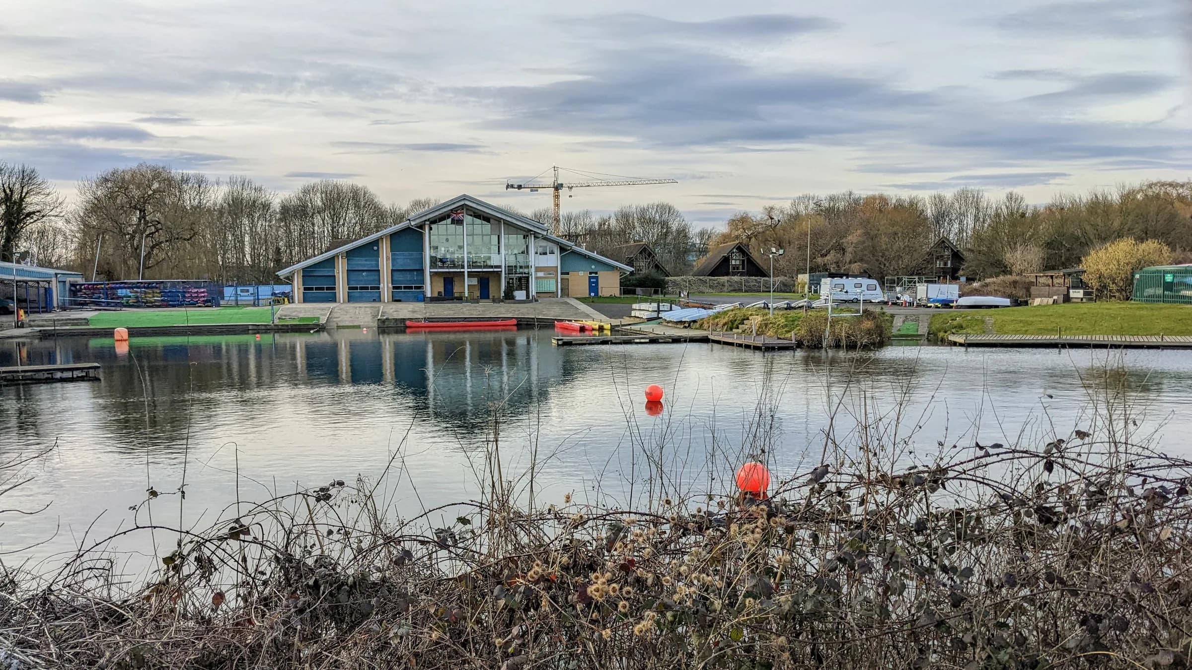
Cheshunt
Cheshunt is a large Hertfordshire town in the Borough of Broxbourne, with Cheshunt Park, the historic Churchgate conservation area and a station on both Greater Anglia and the Weaver line.
Area guide
Living in Cheshunt
Cheshunt is a town in the Borough of Broxbourne, Hertfordshire, in the Lea Valley. Its historic core is Churchgate, a conservation area with 23 listed buildings. St Mary's Church, Grade I listed and built between 1418 and 1448, stands there alongside Whit Hern Park and buildings from the 17th to 19th centuries. Cheshunt was also a centre of the Lea Valley glasshouse industry, which began in 1806; by 1967 a quarter of the country's glasshouses were in the area, and most nurseries had closed by the late 1970s.
Housing in the four Census 2021 wards that cover most of Cheshunt is mainly terraced (about 36 per cent of households) and semi-detached (31 per cent), with purpose-built flats at 21 per cent and detached homes at 9 per cent. Cheshunt Park is a 235-acre Green Flag park managed by Broxbourne Council, much of it wildflower meadow, and Cedars Park, on the site of Theobalds Palace, lies towards the south. Lee Valley Regional Park runs along the borough's eastern boundary.
Cheshunt station is managed by Greater Anglia and is also the northern terminus of the Weaver line to London Liverpool Street, run under the London Overground brand. TfL lists Cheshunt in Zone 8 and neighbouring Theobalds Grove in Zone 7. There is no Tube station in the area. The town is outside Greater London and covered by EN8 and EN7 postcodes.
Transport
Getting around Cheshunt
Cheshunt station has Greater Anglia services and is the northern end of the Weaver line, which runs to London Liverpool Street. TfL's Greater Anglia route data lists Cheshunt on Liverpool Street routes to Hertford East, Stansted Airport and Cambridge. There is no Tube station in the area.
Cheshunt
Greater Anglia, Weaver · Zone 8
Managed by Greater Anglia (National Rail); Weaver line terminus; no Tube station in the area
Theobalds Grove
Weaver · Zone 7
Weaver line to London Liverpool Street; TfL's station record also lists Greater Anglia, so check the operator timetable for calling patterns
Parks, shops and schools
What Cheshunt has nearby
Parks and green space
- Cheshunt Park (opens in a new tab)A 235-acre Green Flag park managed by Broxbourne Council, with a large area of wildflower meadow
- Cedars Park (opens in a new tab)Over 19 acres on the site of Theobalds Palace; Green Flag status and a scheduled ancient monument
- Lee Valley Regional Park (opens in a new tab)A 10,000-acre regional park running along the eastern boundary of the borough
Schools
Schools in this area are overseen by Hertfordshire County Council as the local education authority. Parents can check admissions rules, inspection reports and published results through the official services below.
A little history
Cheshunt's Lea Valley glasshouse industry began in 1806 and by 1967 accounted for a quarter of the country's glasshouses, before most nurseries closed in the late 1970s. The Churchgate conservation area around St Mary's Church preserves the historic village centre.
Local favourites
Worth knowing in Cheshunt
Roads and pockets
- Churchgate — the main road of the original village, within the Churchgate conservation area that has 23 listed buildings
- Churchfield Path — described by the local history site Herts Memories as holding some of the area's oldest buildings, including the Old Parsonage of about 1500
- College Road — meets the Churchgate conservation area at its southern end and was formerly known as Water Lane because of the brook alongside
- Crossbrook Street — historic Cheshunt street where no. 117 is a Grade II listed building dating from the 16th century
Places worth a visit
- Church of St Mary the Virgin, Churchgate — Grade I listed medieval church built between 1418 and 1448
- Whit Hern Park — public park created from the grounds of the demolished Whit Hern House, inside the Churchgate conservation area
- Cheshunt Park — 235-acre Green Flag park managed by Broxbourne Council, largely wildflower meadow
- Cedars Park — public park on the site of Theobalds Palace, including a scheduled ancient monument
- Lee Valley Regional Park — a 10,000-acre linear park along the borough's eastern boundary
Compiled from public sources such as council guidance and local history records, and reviewed October 2026. These are not recommendations or valuations.
Property market
Property prices in Cheshunt
Median sold price
£442,000
610 sales in the 12 months to July 2026
| Property type | Median | Sales |
|---|---|---|
| Detached | £675,000 | 99 |
| Semi-detached | £488,750 | 174 |
| Terraced | £420,000 | 229 |
| Flats & maisonettes | £237,500 | 108 |
Based on completed sales registered at postcodes in EN8, EN7, which only approximate the area's boundaries and include sales we did not handle. Standard (category A) residential sales for value only: the Land Registry’s category B, which includes repossessions, buy-to-lets identified by a mortgage and sales to non-private individuals, is not counted. Contains HM Land Registry data © Crown copyright and database right 2026. This data is licensed under the Open Government Licence v3.0.
Questions
Cheshunt: common questions
Quick answers about living in and moving to Cheshunt.
Which council covers Cheshunt?
Cheshunt is in the Borough of Broxbourne in Hertfordshire, so council tax is administered by Broxbourne Council. Hertfordshire County Council provides county services, including education. It is outside Greater London.
Which stations serve Cheshunt?
Cheshunt station is managed by Greater Anglia and is also the terminus of the Weaver line (London Overground) to Liverpool Street; TfL lists it in Zone 8. Theobalds Grove, in Zone 7 per TfL, is the next Weaver station south. There is no Tube station.
Which postcode districts cover Cheshunt?
Cheshunt is covered by EN8 (including Cheshunt station and the central and eastern wards) and EN7 (including the western wards of Rosedale and Bury Green and Flamstead End). Both districts also include addresses in other areas, so check the full postcode and council for a specific address.
What parks are in Cheshunt?
Cheshunt Park is a 235-acre Green Flag park, and Cedars Park on the Theobalds Palace site is also a Green Flag park; both are managed by Broxbourne Council. Whit Hern Park sits in the Churchgate conservation area, and Lee Valley Regional Park runs along the borough's eastern boundary.
How do I get from Cheshunt to central London?
The Weaver line runs from Cheshunt to London Liverpool Street, and Greater Anglia also serves the station. Check the operators' timetables for current calling patterns and journey times, as these change.
Location
Where Cheshunt is
Nearby
Nearby areas
Value my property
Selling or letting in Cheshunt?
Talk to our local team about the market in Cheshunt — book a free, no-obligation valuation or call the office.